
East May Creek Trail
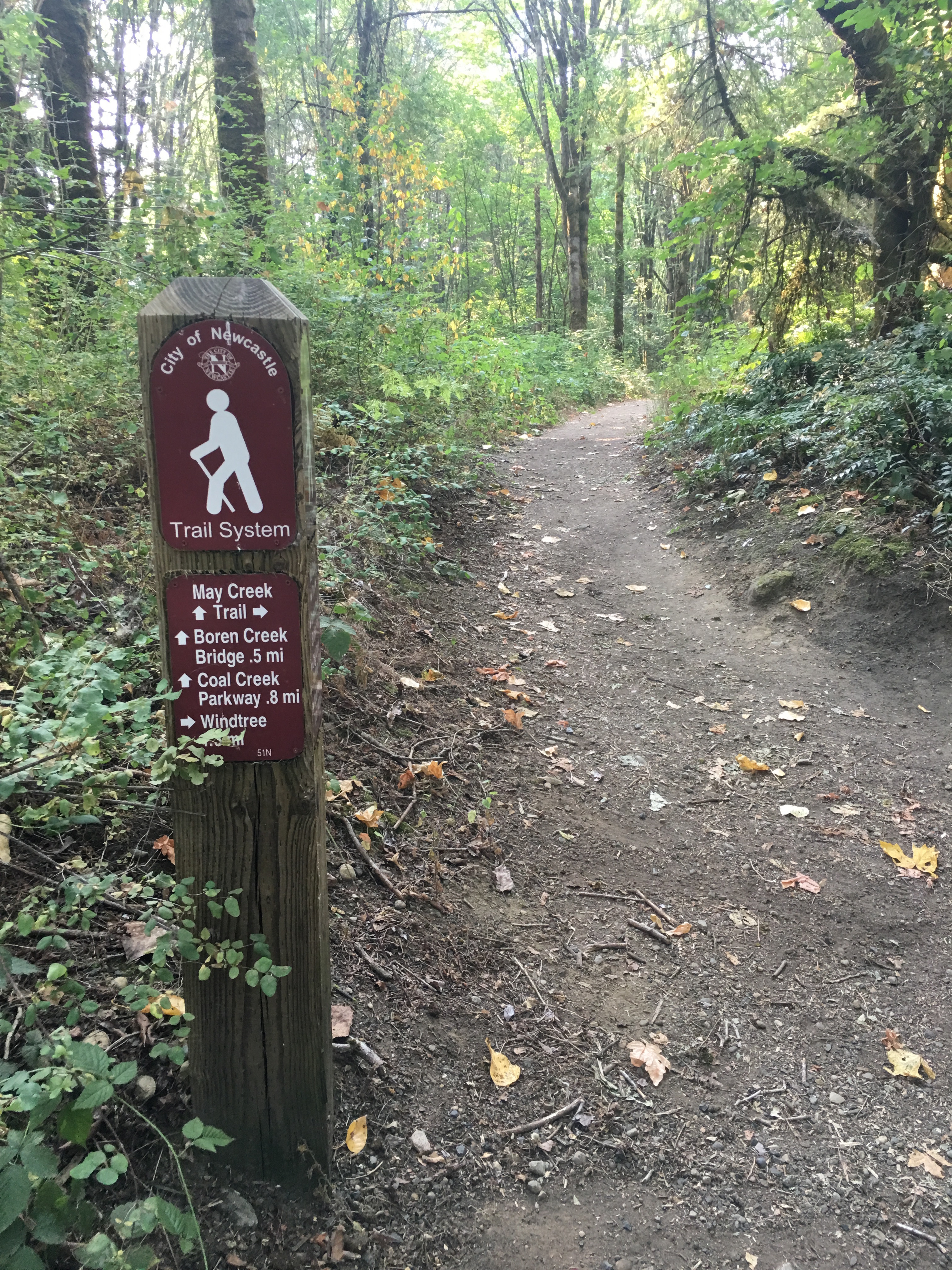
01 Trailhead near Waterline

02 Abandoned Mail Truck
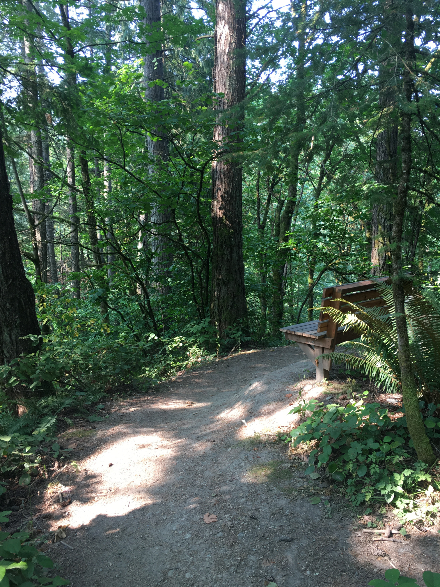
03 May Creek Overlook
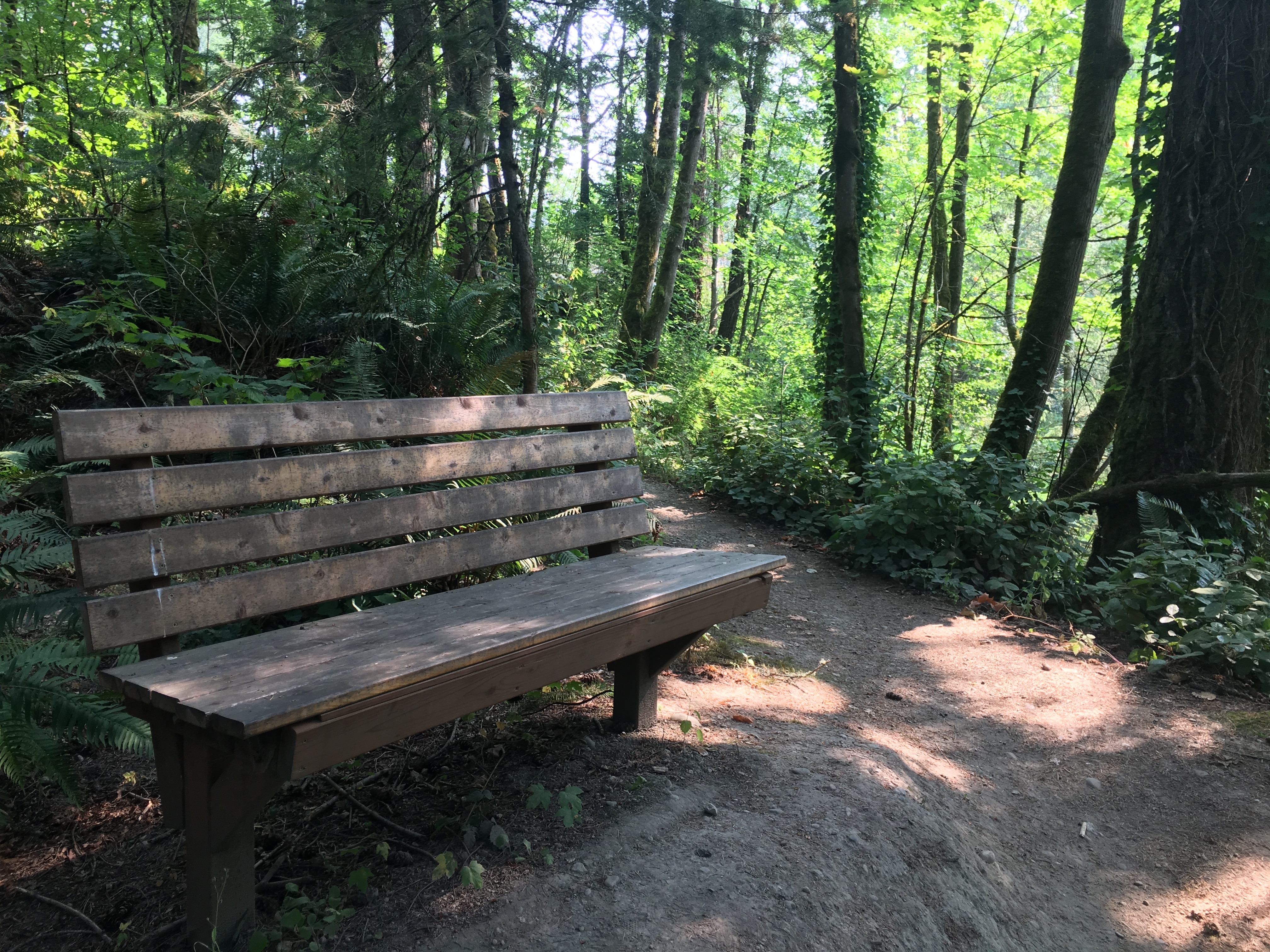
04 Bench at Overlook
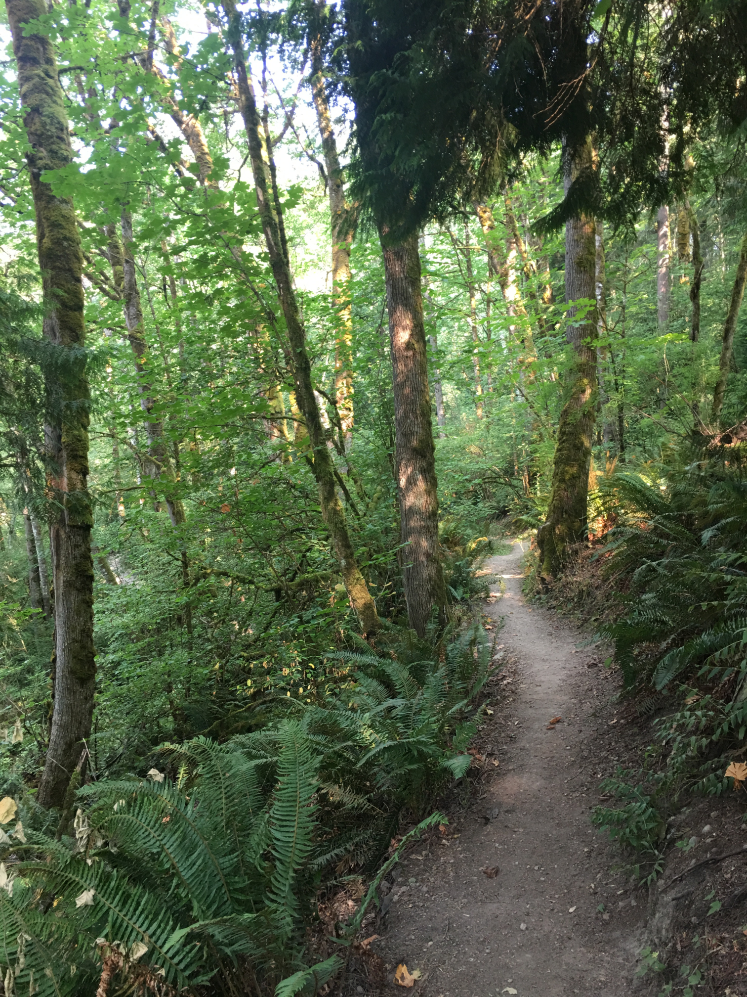
05 Descending to Switchback
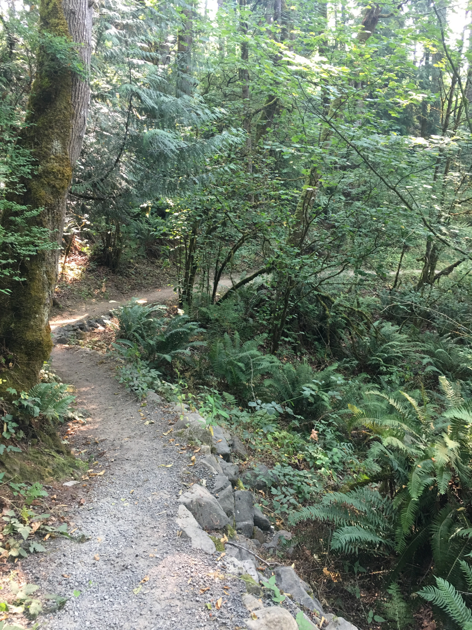
06 Eastbound Trail with Rockwork
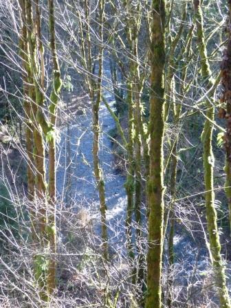
07 View from Overlook
Overview
0.8 miles
0 Roads,
0 Driveways
![]()
![]()
A creek-visiting trail from the Waterline Trail east to Coal Creek Parkway
Description
The East May Creek Trail starts at the end of the Mid May Creek and Waterline trails, and continues through the woodlands of May Creek Park. It runs south to a viewpoint, descends on switchbacks to May Creek, and follows the creek east to the mouth of Boren Creek. After crossing Boren Creek on a wide, sturdy bridge, it switchbacks up the valley to an asphalt trail running east to Coal Creek Parkway, and jogs north to SE 91st Street, where it connects with the Milepost and Highlands trails. See Extended Description below.
| Hide Trail Map | ||
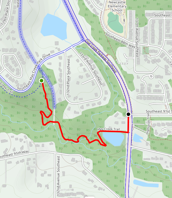
|
||
1. At the trail sign marking the end of the Waterline Trail, turn right to continue on the May Creek Trail. The trail changes character abruptly, leaving the railroad grade (which curves towards May Creek Park Drive) and meandering down past an old mail truck, on a somewhat steep old road, to an overlook with a bench. In winter, when the leaves are off the trees, you can see about 400 feet directly up May Creek.
2. Head down past a hairpin turn (the “Swamp Switchback”), and on to a much closer view of May Creek.
3. Continue upstream, crossing the waterline corridor through canary grass on stepping stones. Now the trail traverses a wet hillside, partly on a footbridge. Farther on, it descends steeply to the May Creek flood plain, where it continues along the edge of the creek.
4. Follow the trail along May Creek to the mouth of Boren Creek, flowing south from Lake Boren. Here there's a pleasant spot for a picnic. At this point the trail veers left through a little valley, and rises to cross the Boren Creek Bridge—a wide, sturdy footbridge with views of Boren Creek below.
5. Past the bridge the trail ascends by a switchback to an asphalt pathway that skirts the north side of a retention pond. Follow it east to the Coal Creek Parkway, turn left, and walk north on the sidewalk to the traffic light at SE 91st Street. The trail ends here, but the May Creek Greenway continues across the Parkway on the South Highlands Trail.
| You can reach Lake Boren Park and the Esplanade from SE 91st Street by two routes: (1) continue north on the sidewalk for 0.7 mile, following the west side of the Parkway; (2) cross the parkway to the Milepost Trail and follow it north on the Parkway sidewalk, up a series of steps, north through a pleasant wooded area to the Newcastle Elementary School, and northwest along 135th Avenue SE to (and across) the Parkway. To continue in the May Creek Greenway (see Trail Planner) to Cougar Mountain Park, cross the Parkway and follow the South Highlands Trail along the south side of 91st to a trail sign at a break in the hedge. Turn right and follow the trail south, then east, then north, in a wooded corridor around the Highlands at Newcastle. |