
Waterline Trail
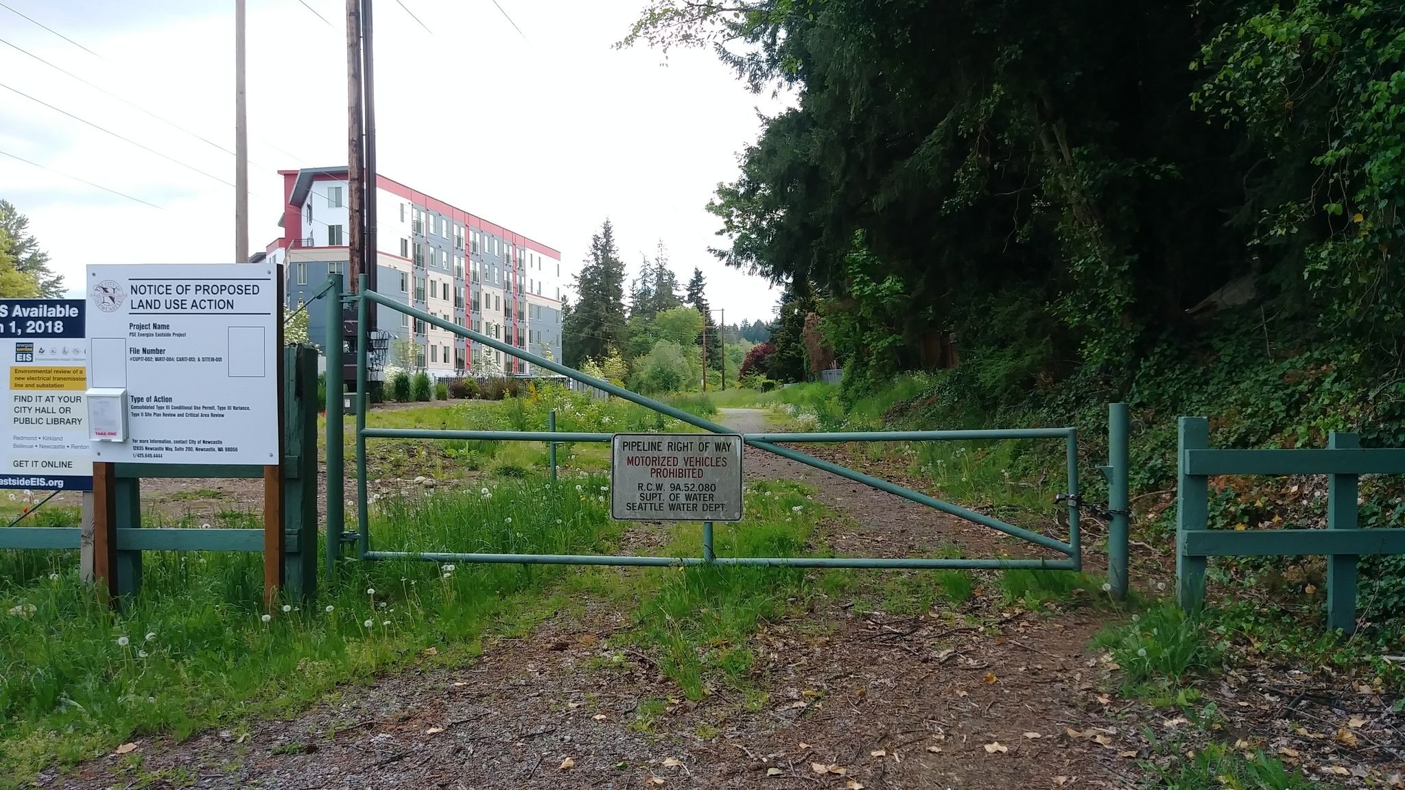
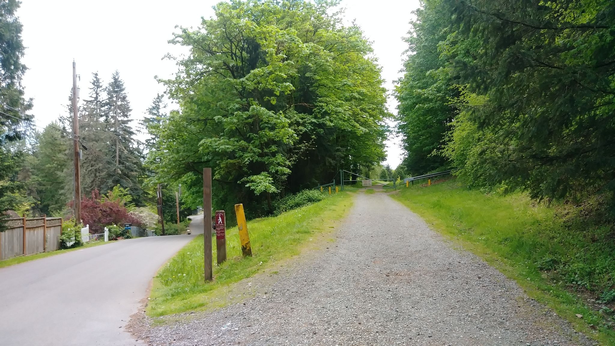
01 Trailhead on Newcastle Way southbound
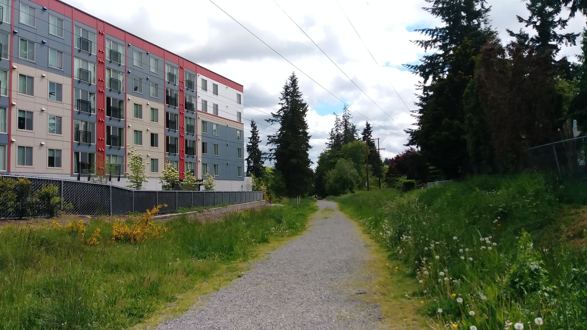
02 Passing by Tria Apartments
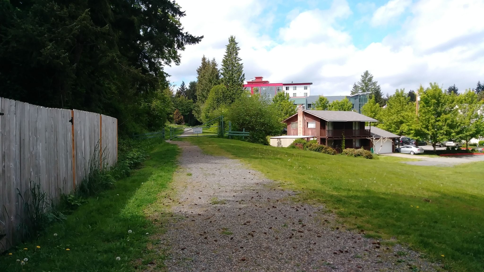
03 Looking north from SE 73rd Pl
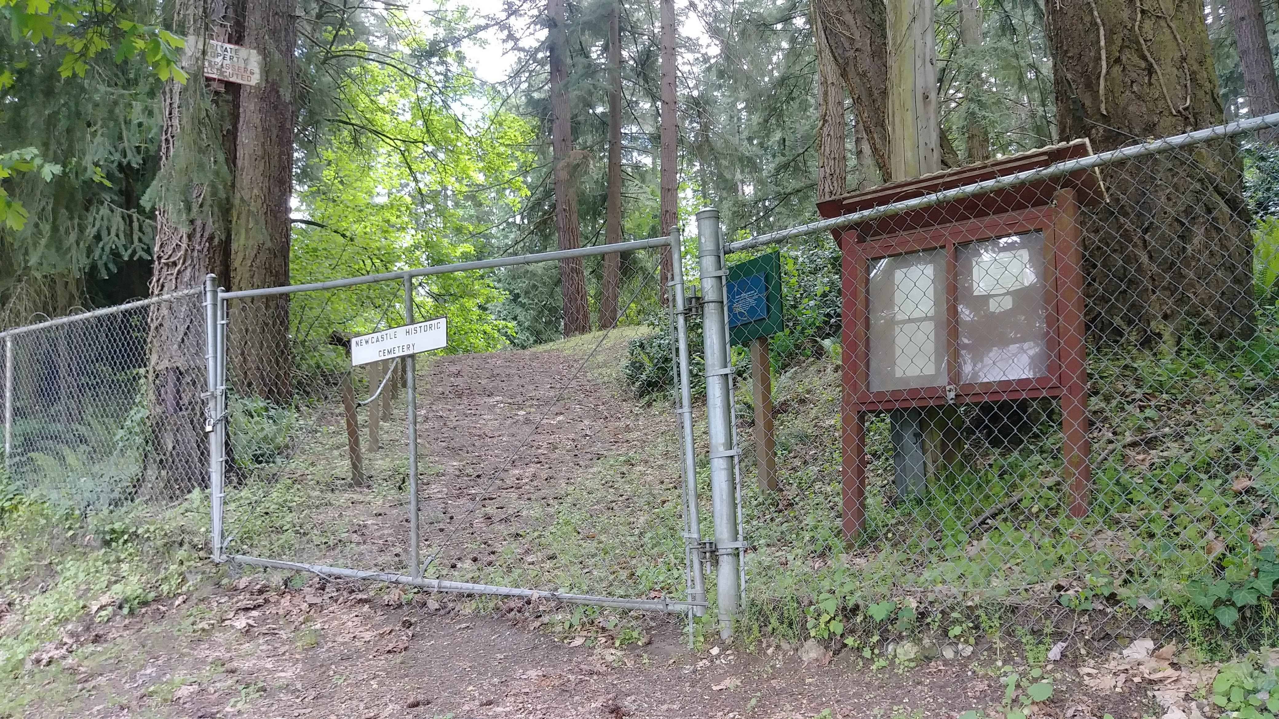
04 Historic Newcastle Cemetery on 129th Ave SE
05 Trail southbound on Utility Road right of 129th Ave SE
06 View north with Lake Boren Park on right
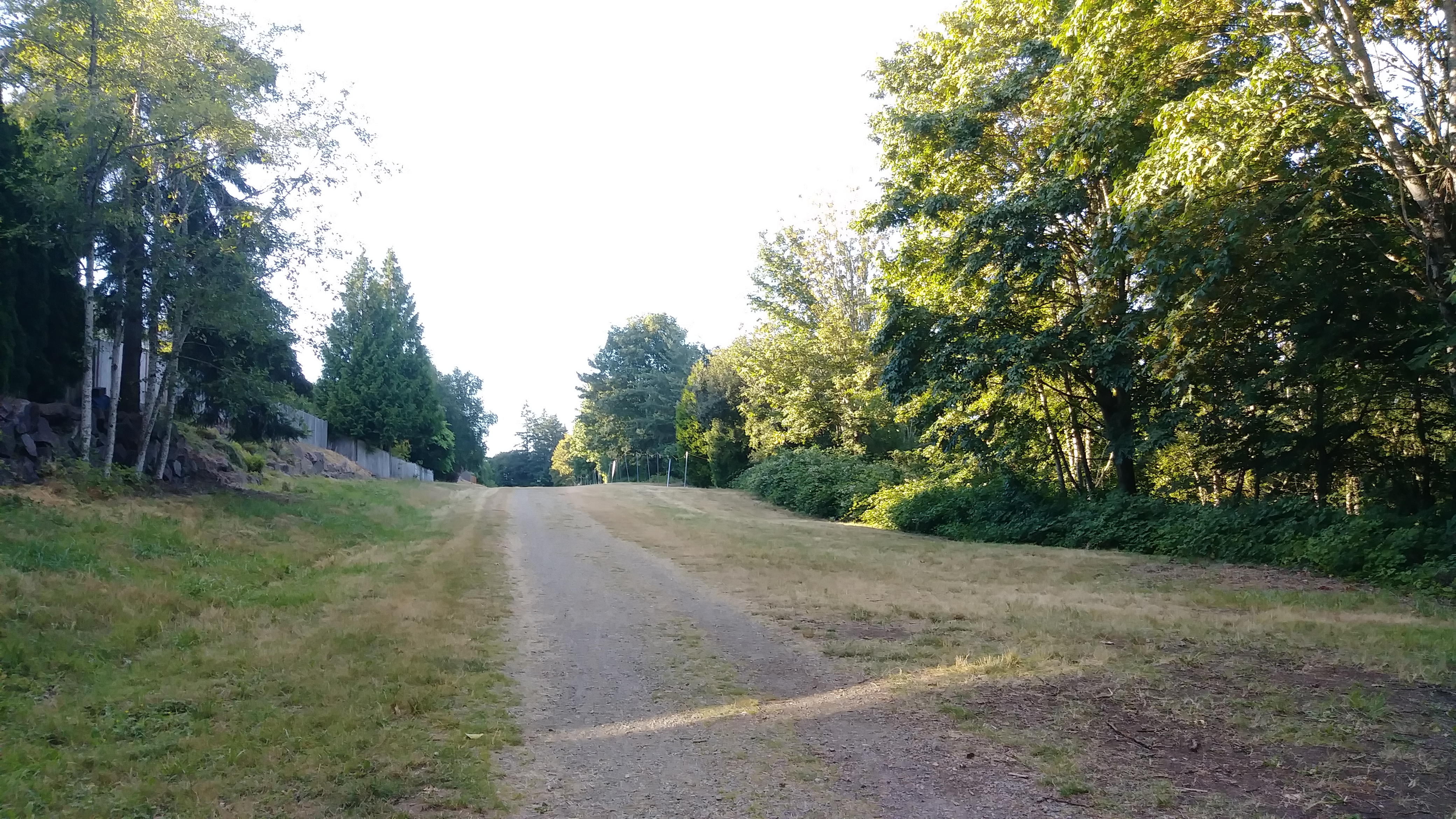
07 Trail southbound from SE 84th Way
08 Looking back towards SE 84th Way
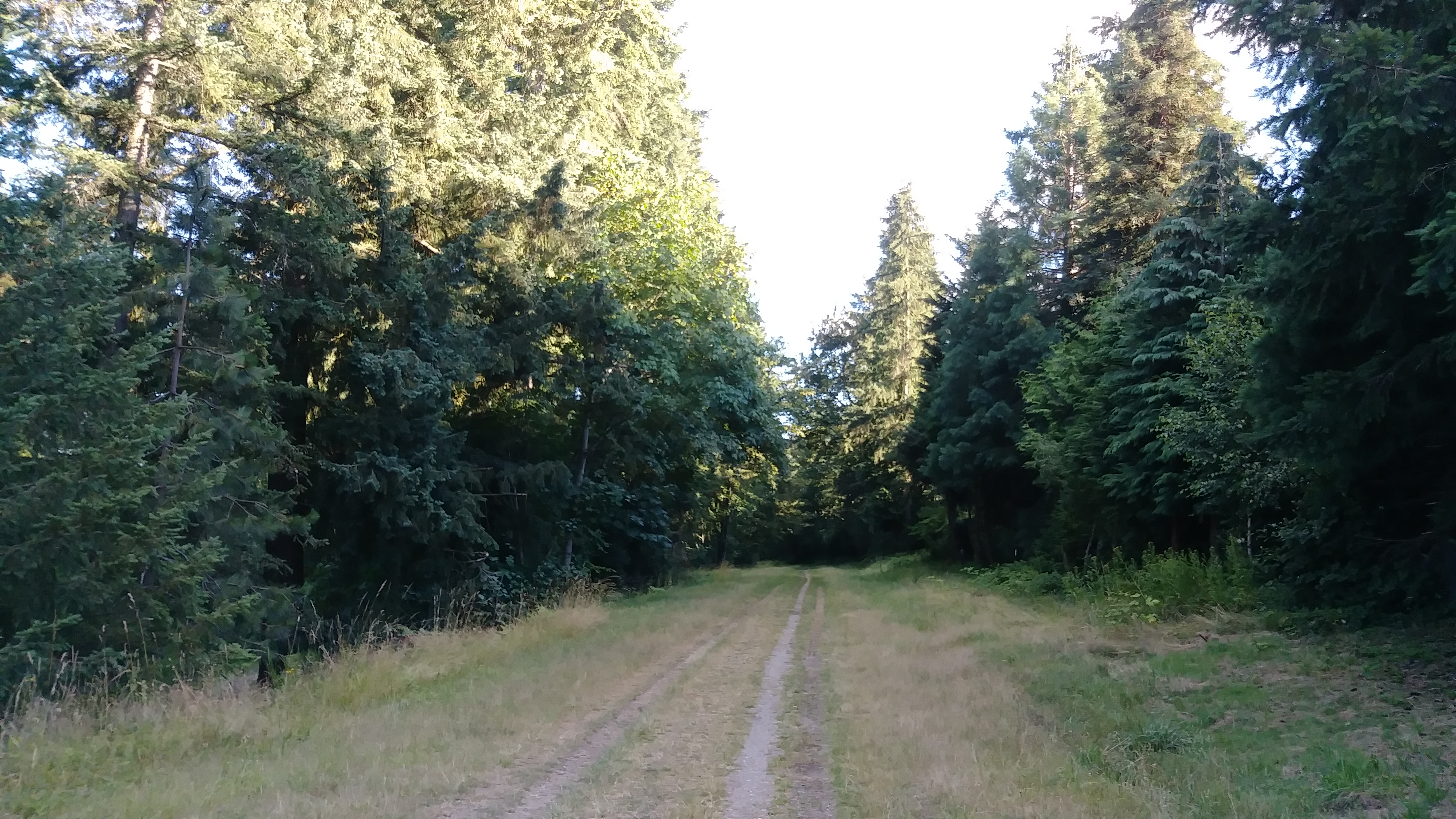
09 Trail southbound towards May Creek Park
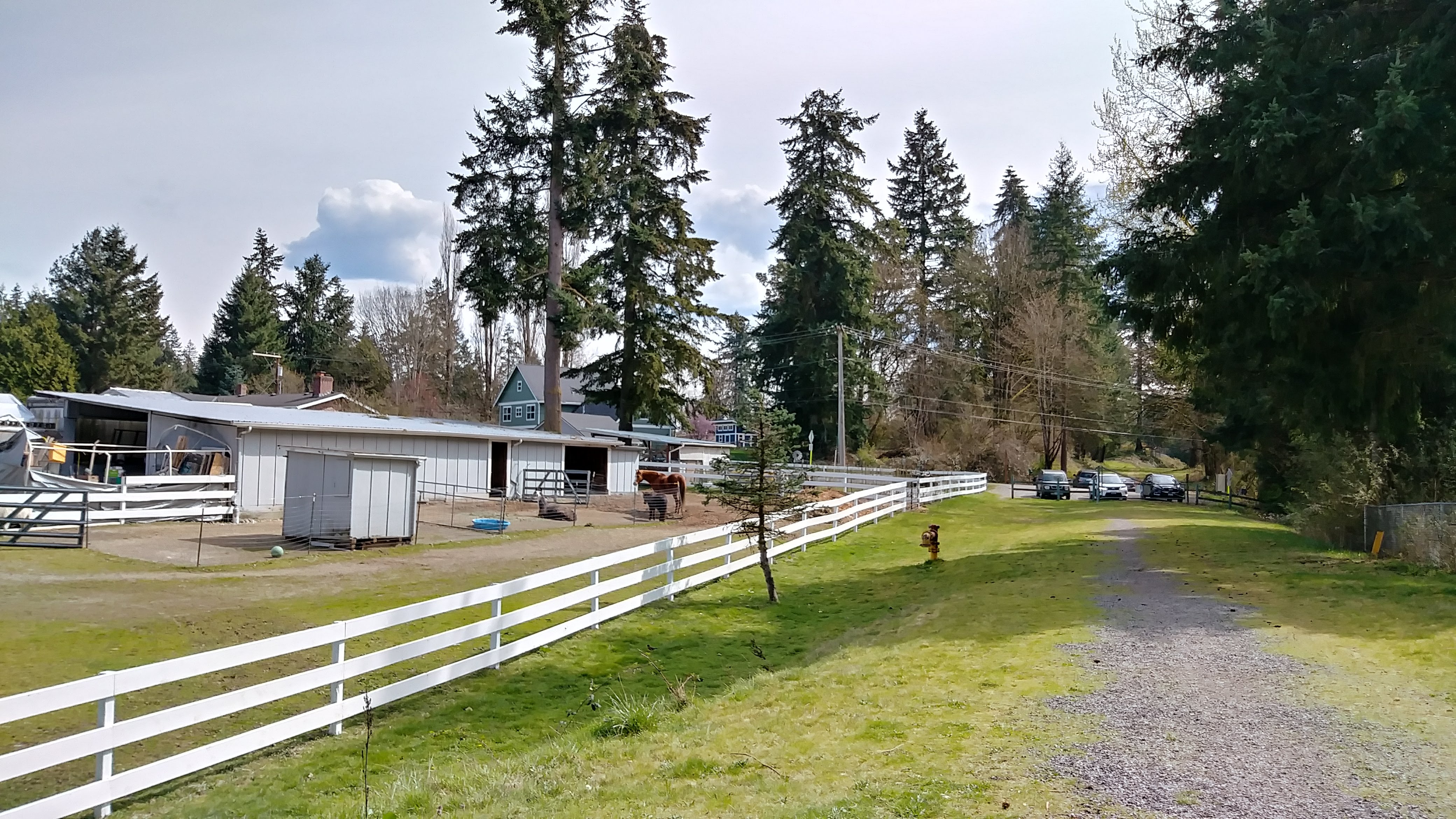
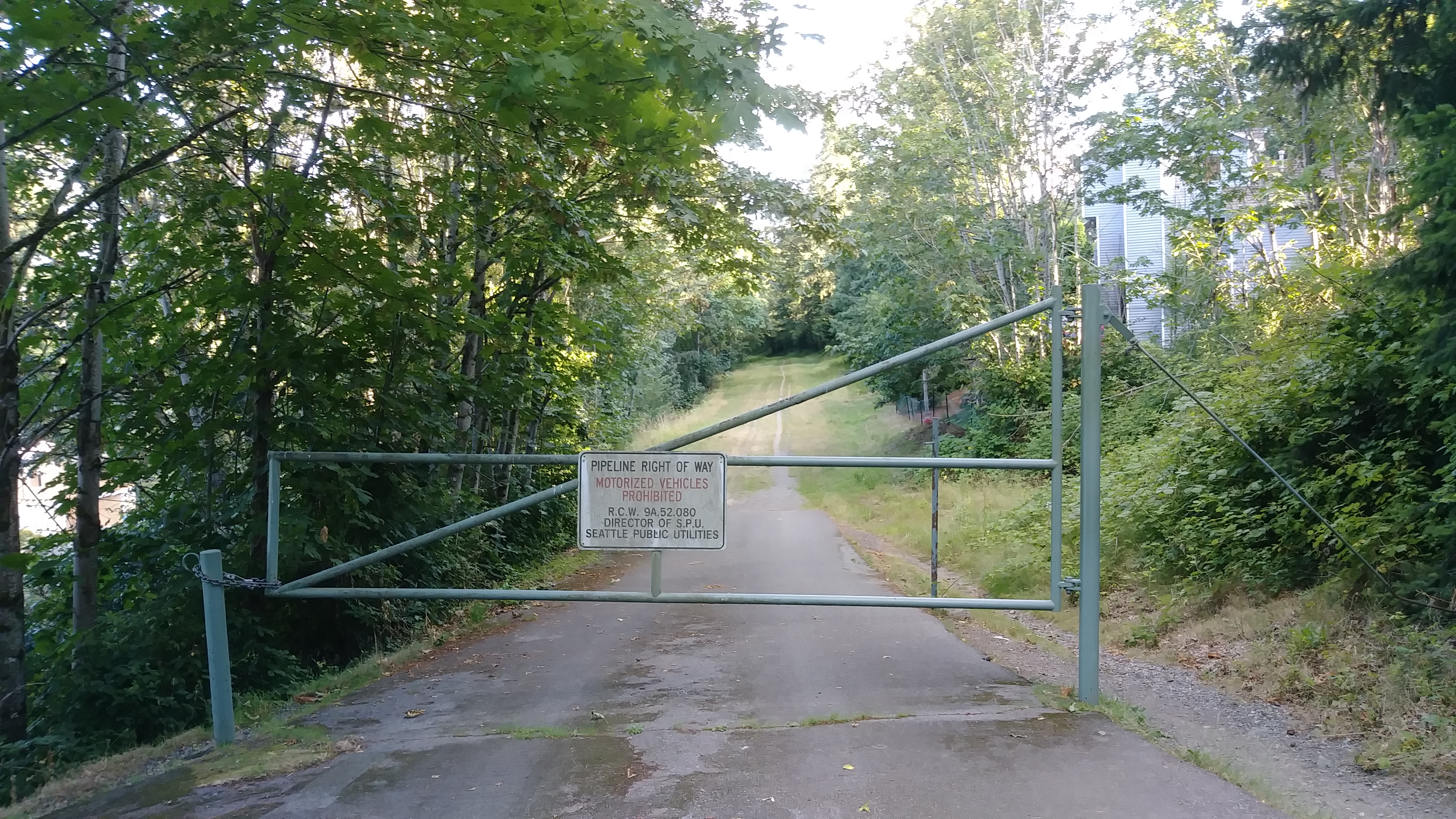
10 Farm at May Creek Park Drive
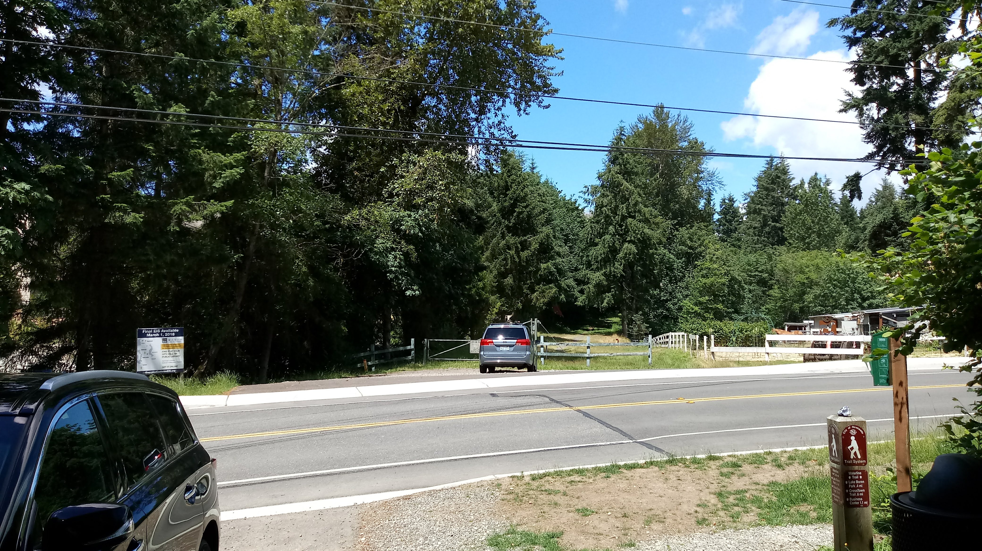
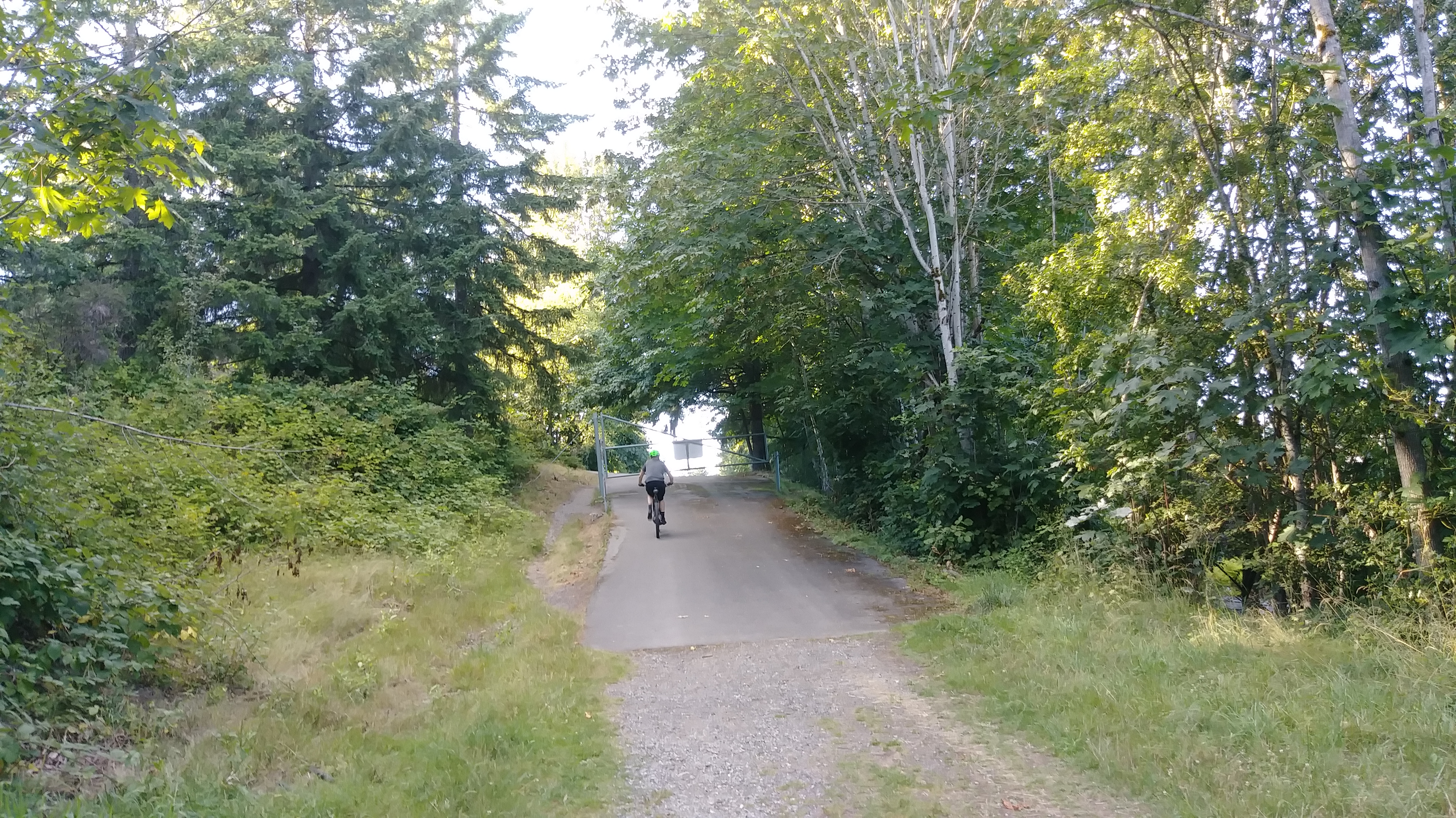
11 View north across May Creek Park Drive
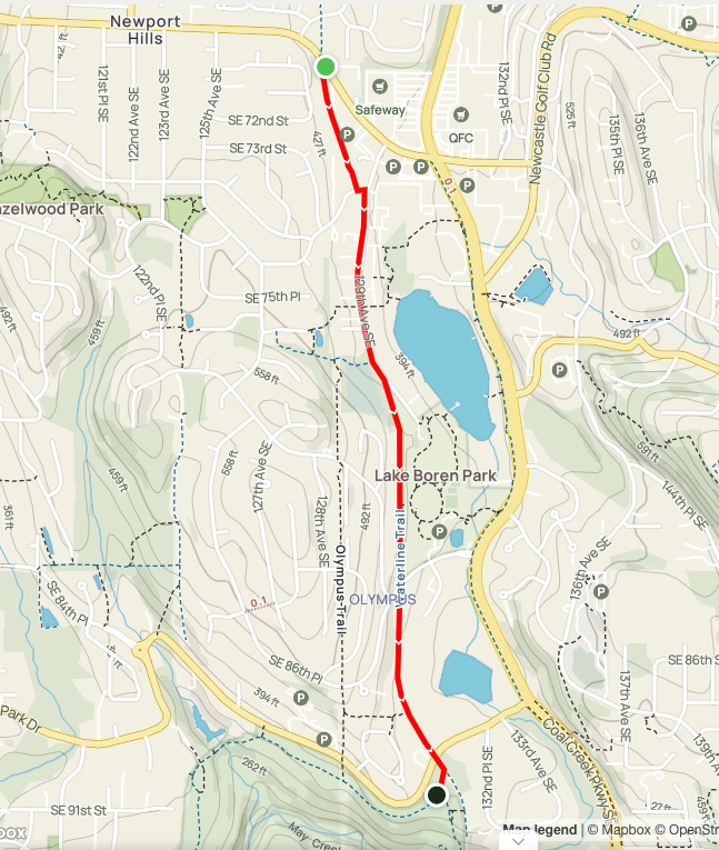
Overview
1.4 miles
3 Roads,
8 Driveways
![]()
![]()
![]()
From Newcastle Way south past Lake Boren Park to May Creek Park
Description
Newcastle's Waterline Trail runs south from Newcastle Way past Lake Boren Park to May Creek Park, in a waterline corridor owned by Seattle Public Utilities (SPU). The corridor angles down to 129th Ave SE (near the library) and follows the street south across the China Creek Trail (with lakeshore access) to the historic Newcastle Cemetery. Here the CrossTown Trail angles southeast to the fishing pier in Lake Boren Park (and runs west to Olympus and Hazelwood). The Waterline Trail passes the park on a utility road, and continues as a pleasant trail flanked with trees. After passing the south entrance to the Olympus Trail, it crosses May Creek Park Drive and enters May Creek Park. It ends at the May Creek Trail: a left turn brings you down to the creek; a right turn sends you west on a broad flat rail-trail with cuts and fills. See Extended Description below.
| Hide Trail Map | ||
|
||
| Northbound in Bellevue (Newport Hills) the waterline corridor is an informal public trail. To reach Bellevue's Coal Creek Trail, walk north from Newcastle Way to SE 60th St, turn right (east) past a small park, angle left to a trailhead on 60th, and follow a footpath down through beautiful woods to Coal Creek. Coal Creek Trail follows the creek under Coal Creek Parkway and continues as a lovely wooded nature trail (with waterfalls and historic sites) to Cougar Mountain Park. |
1. From the south side of Newcastle Way, just west of the Tria Apartments, go south on the water line corridor to SE 73rd Place. Cut left to 129th Ave SE, and follow the sidewalk south past Lakehouse Residences.
| Here you cross the China Creek Trail, which branches right (west) up steps towards Hazelwood Ridge and a junction with the West Crosstown Trail. A few feet farther, the China Creek Trail branches left, crosses the street, and continues east past the Lake Boren Townhomes, then north, then east on boardwalks along China Creek to Coal Creek Parkway. |
2. When the sidewalks end, continue south.
|
The West Crosstown Trail branches right (west) just before the Newcastle Historic Cemetery. It ascends to junctions with the north end of the Olympus Trail and the southwest end of the China Creek Trail, and continues on to Hazelwood Park, Hazelwood and Risdon schools, and Newcastle Way. Just past the cemetery, it goes left (southeast) along 129th into Lake Boren Park. |
3. Continue south on the utility corridor along the west edge of Lake Boren Park.
4. Cross SE 84th Way, and continue south down the broad, grassy waterline corridor, now flanked by trees.
| Just past Olympus, the south end of the Olympus Trail branches right and heads steeply up to Eden's Grove, turning north through Olympus to join the CrossTown Trail near the cemetery (completing a loop). |
5. Continue south across SE May Creek Park Drive into May Creek Park. From the open corridor, veer right into the woods to a trail sign for the May Creek Trail.
| Here you have a choice: return; turn left and head south on the East May Creek Trail, which descends on switchbacks to the creek; turn right and follow the Mid May Creek Trail through an old railway cut, heading generally west on the roadbed of the historic Seattle and Walla Walla Railroad. |