
South Highlands Trail
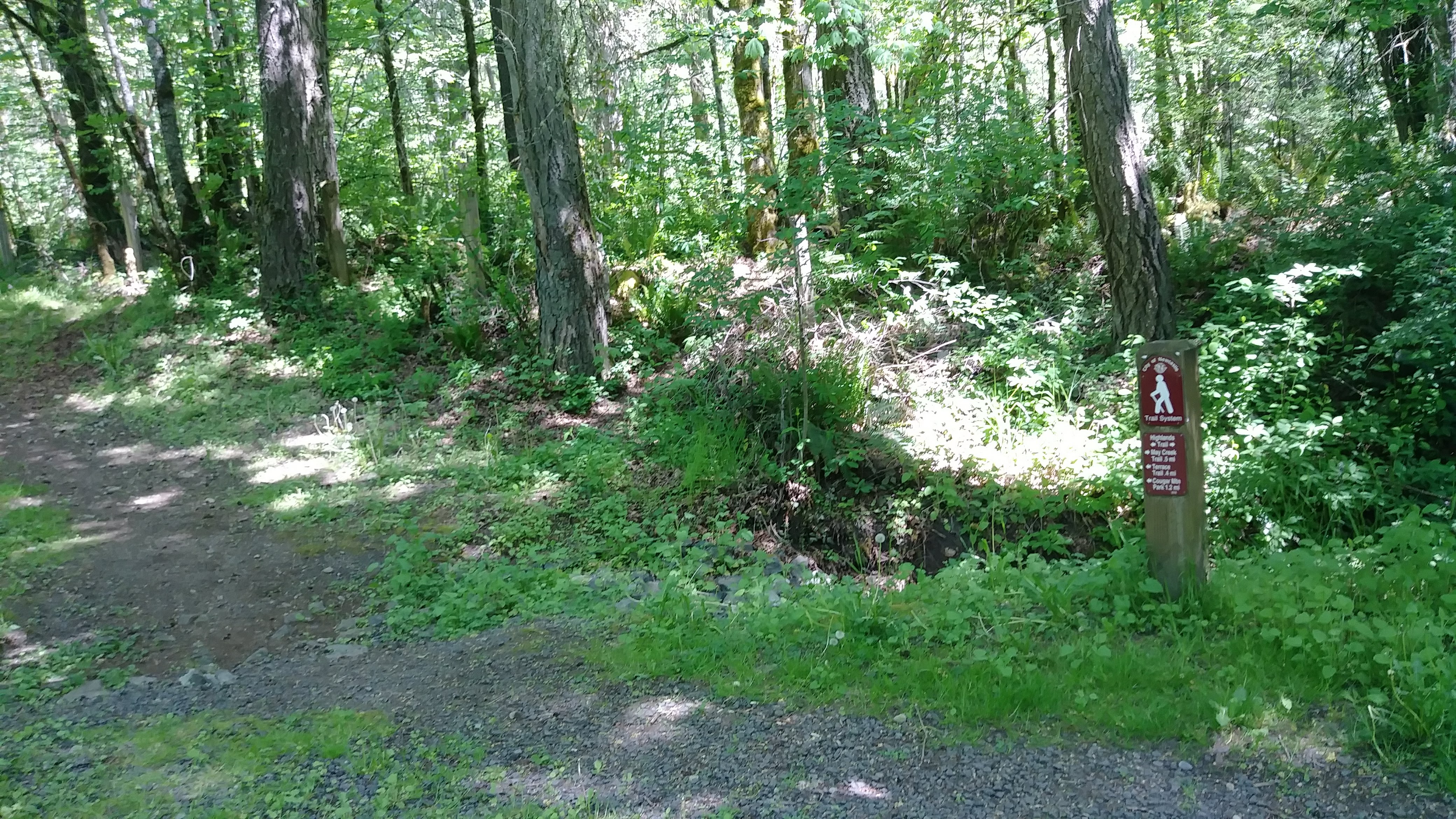
Trail looking south from the SE 93rd St cul-de-sac
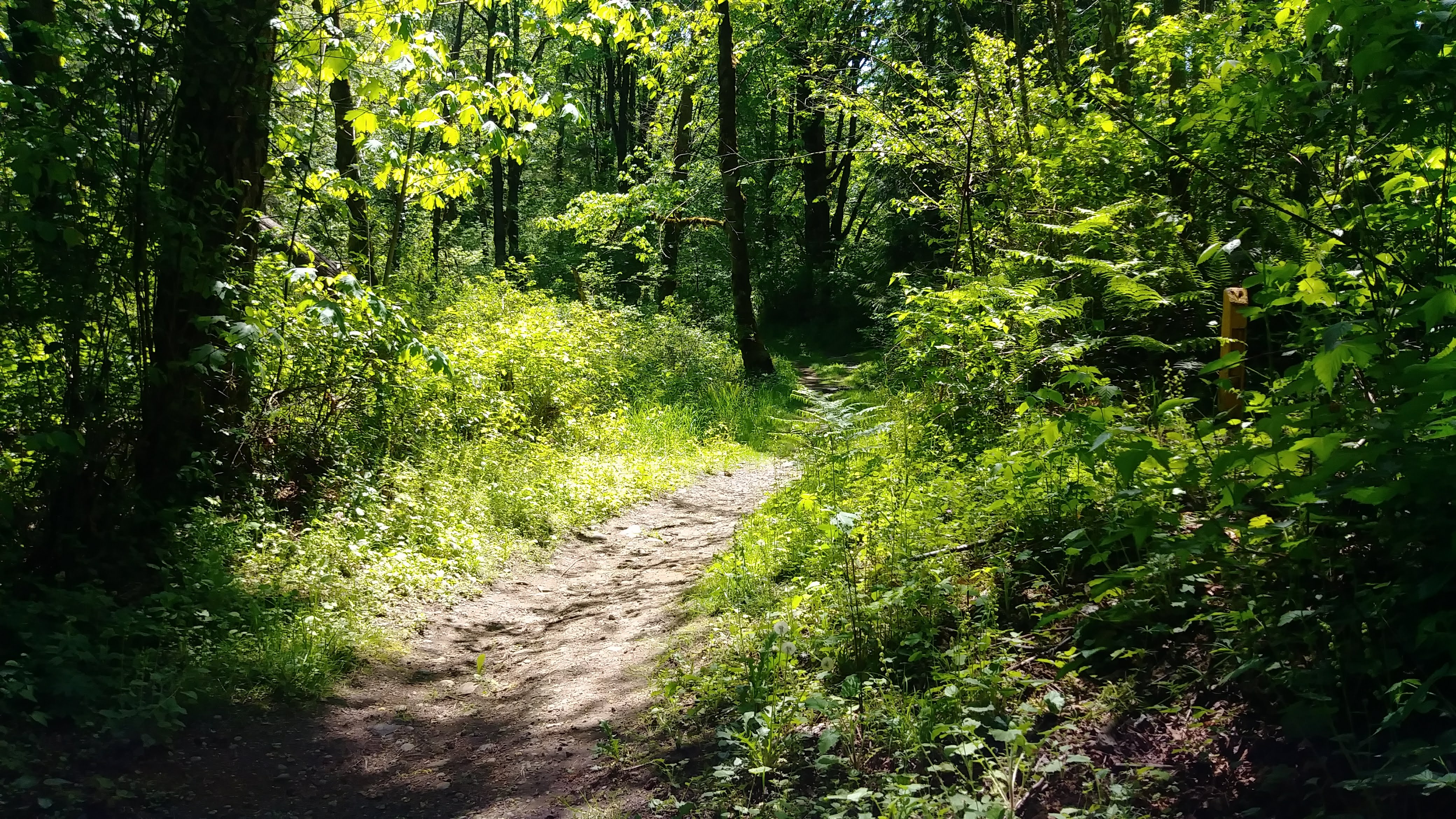
Trail passing the SE 93rd St cul-de-sac
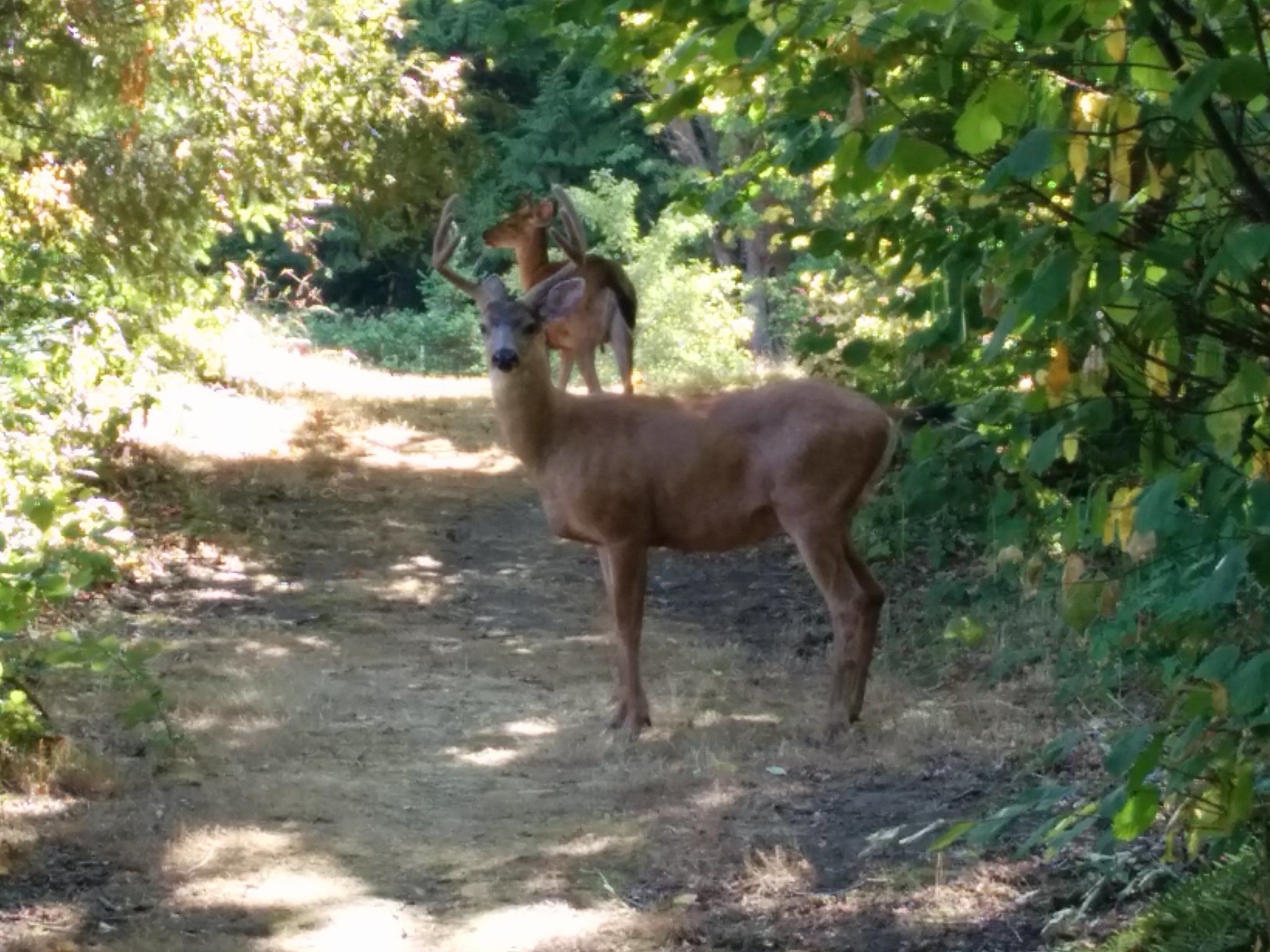
Two deer appear on the trail near 138th Ave SE
Overview
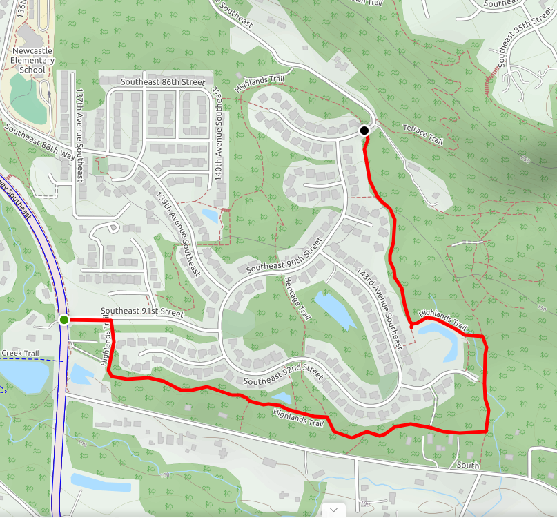
1.6 miles
3 Roads,
0 Driveways
![]()
![]()
From Parkway at SE 91st St east & north to Terrace Trail at 144th Place SE
Description
The South Highlands Trail is the south half of the Highlands Trail, which loops around the Highlands at Newcastle. The trail starts on Coal Creek Parkway, runs 350'east along SE 91st Street, turns right, and follows a wooded greenbelt around the south and east sides of the Highlands to the Terrace Trail on 144th Place SE at SE 87th Place. From here you can return to 91st on the North Highlands Trail, or take the Terrace and CrossTown trails into Cougar Mountain Park. Between 91st and 144th the trail crosses the Heritage Trail, visits the historic Thomas Rouse Road, and passes several retention ponds (look for birds), avoiding homes and street-crossings. See Extended Description below.
| Hide Trail Map | ||
|
||
1. Start at the main entrance to the Highlands at Newcastle, on Coal Creek Parkway at SE 91st Street. The small gatehouse on the SE corner offers shelter, and marks the start of the South Highlands Trail. The gatehouse is an easy 0.7-mile walk from Lake Boren Park, and 1.3 miles from downtown Newcastle. You can park by the trail on the south side of 91st.
| Two other trails end at the gatehouse: the May Creek Trail and the Milepost Trail. From the gatehouse, you can cross the Parkway to a trail sign for the May Creek Trail, which jogs south along the Parkway, then west along the north side of May Creek. Or, you can cross 91st and follow the Milepost Trail north along the Parkway (no trail signs here), eventually leaving the sidewalk to ascend a flight of steps. From the top (nice views) the trail runs north through a wooded area to Newcastle Elementary School; it descends on 135th Ave SE, and crosses the Parkway into Lake Boren Park. |
2. From the Parkway, follow the sidewalk 350 feet east along SE 91st Street to a crosswalk. Enjoy the landscaping: lawn on your right, with hedge, then trees; hedge and trees in the median strip on your left.
3. At the crosswalk, the North Highlands Trail arrives from the north, completing the loop of the Highlands Trail. Turn right here (by the trail sign), and follow the South Highlands Trail through the hedge. A short distance south, an access trail branches right, descending to the Parkway between a retention pond and a planned subdivision. The main trail curves left and heads east in the woods, parallel to SE May Valley Road.
4. About 0.4 miles in, the trail passes a retention pond (where red-winged blackbirds nest in the spring), descends steeply into a small valley (drainage dip), crosses it on a raised berm, and ascends steeply to a junction with the Heritage Trail.
| The Heritage Trail starts at Heritage Morgan Park north of the Highlands and runs generally south, crossing the North Highlands Trail and ending on the South Highlands Trail. This north-to-south trail bisects the Highlands Trail loop to form two smaller loops: a 1.5-mile west loop, and a 1.7-mile east loop. It also provides a less-steep detour around the steep drainage dip: after passing the retention pond, turn left (north) and follow an access trail up a gentle slope towards SE 92nd Street. About 320 feet on, turn right and continue around a steep, wooded cirque (about 20 feet short of 92nd) to the Heritage Trail; follow it down a gentle slope to rejoin the South Highlands Trail. |
5. Continue east past the Heritage Trail. Where the trail jogs left, there's a short access trail on the right that curves down to May Valley Road. And 600 feet farther on, another access trail branches left to SE 93rd Street near Forest View Park (to your left, past 2 driveways).
6. Follow the trail 400 feet east past a retention pond to the route of the historic Thomas Rouse Road, now a tree-shaded trail corridor running north from May Valley Road. Here the trail turns left, follows the old road 700 feet north in thick shady woods, and turns left again, leaving the road. Halfway along the road, the trail passes the end of 93rd Street, almost touching the cul-de-sac. Trail signs 89-91 mark both left turns, and the access to 93rd.
| The Thomas Rouse Road was built in the late 1800's as a farm-to-market road from May Valley to Old Newcastle, a coal-mining town near the present Coal Creek YMCA. Now an informal access trail follows the old road 280 feet north from May Valley Road to the main trail, joins it for 700 feet, and continues north to a web of informal trails on private property east of the road. The first road segment is used as a driveway by adjacent homes (a sign warns of "Guard Slugs"), but bollards south of sign 89 keep private vehicles off the main trail. Farther north, just before the Terrace Trail, the old road becomes a Newcastle street, 144th Place SE. |
7. The trail leaves the road, heading west across a small bridge and ascending into a small clearing bounded on the west by the wooded berm of a retention pond, and the north by a dense woods (a Native Growth Protection Easement). Here an access trail runs 290 feet south to SE 93rd Street (third access!).
8. The main trail continues 1720 feet north, ending on SE 87th Place at 144th Place SE. From the clearing it angles right and ascends between the pond (soon visible on your left) and dense woods. It continues north past several access trails, dense woods on the east, homes to the west, mostly hidden by vegetation and/or elevation. At 87th you can continue across the street to the North Highlands Trail and return to 91st. Or, you can follow the May Creek Greenway: turn right, cross 144th to the Terrace Trail, and ascend through a lovely forest to the East CrossTown Trail and Cougar Mountain. A gate on 87th blocks non-emergency vehicle access from 144th.
| Access trails. At the end of the pond, where the trail turns north, an access trail runs 280 feet south and west to 143rd Ave SE (walk left to Forest View Park – and 93rd!). Continuing north, you'll traverse a swampy drainage area on a raised trail built by the Washington Conservation Corps. And you'll pass two more accesses on the left: a 280-foot access trail up to 143rd Ave SE, and a steep 230-foot access trail up to 144th Ave SE. At this last access, another trail branches right to the Thomas Rouse Road, and informal trails beyond. |