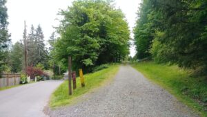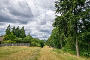
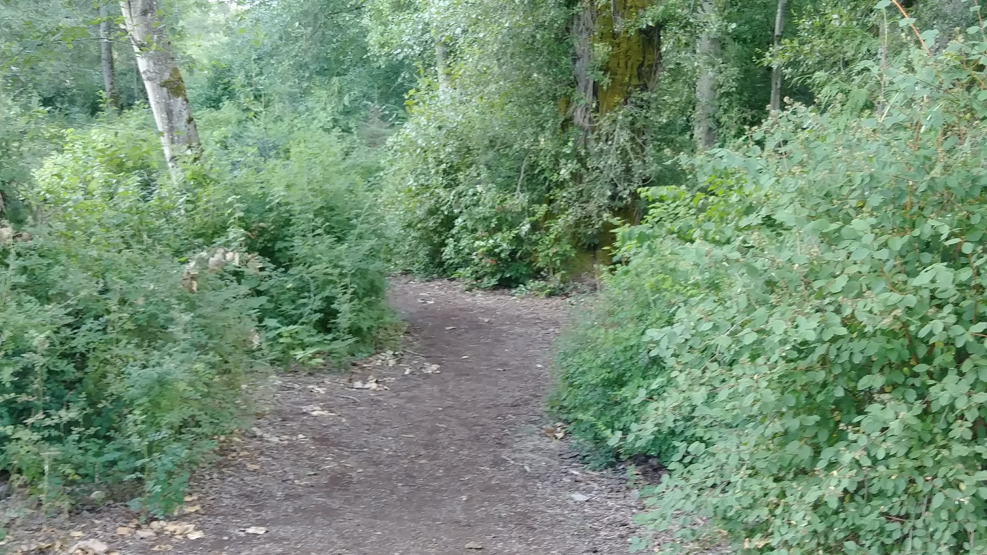
The May Creek Trail runs from Lake Washington through Renton and Newcastle to Coal Creek Parkway. It’s divided into three quite different subtrails: an incomplete trail in Renton, and two completed trails in Newcastle.
The West May Creek Trail (1.7 miles) is entirely within Renton. It follows May Creek east from Lake Washington to Newcastle, crossing the Eastrail (Eastside Rail Trail) to an informal trailhead (shoulder parking) on Lake Washington Boulevard N, and thence through a small park along the creek. It will continue under I-405 after the new interchange is completed. The trail is incomplete from I-405 to Newcastle, where May Creek forms the boundary. Here a Renton-to-Newcastle footbridge is needed to complete the May Creek Trail.
The Mid May Creek Trail (1.3 miles) is mostly wide and flat. It ascends from May Creek and follows the route of the historic Seattle and Walla Walla Railroad east from the site of a long-vanished trestle to the Waterline Trail. The trail is entirely within May Creek Park, mostly in woodland (creek views in winter), and mostly on the old railroad bed, with cuts and fills and historic sites from coal-mining days. At present, trail users reach the trestle site from the Windtree neighborhood, descending 40+ steps to reach the old rail route. For an in-depth trail description, see Walk 3 in our localTrail Book, available in KCLS libraries.
The East May Creek Trail (0.8 miles) is narrower, with more elevation change. It descends from the Waterline Trail junction, follows May Creek to its confluence with Boren Creek, crosses the Boren Creek footbridge, and ascends to Coal Creek Parkway.